Identifying Potential Landscapes for Conservation Across the Central Grasslands of North America: Integrating Keystone Species, Land Use, and Climate Change
Ana Davidson (Colorado Natural Heritage Program (CNHP) & Dept. of Fish, Wildlife and Conservation Biology, Colorado State Univ (CSU)), David Augustine (USDA-Agricultural Research Service), Michael Menefee (CNHP, CSU), Michelle Fink (CNHP, CSU), Lindsey Sterling-Krank (Humane Society of the United States), & Bill Van Pelt (Western Association of Fish & Wildlife Agencies (WAFWA))
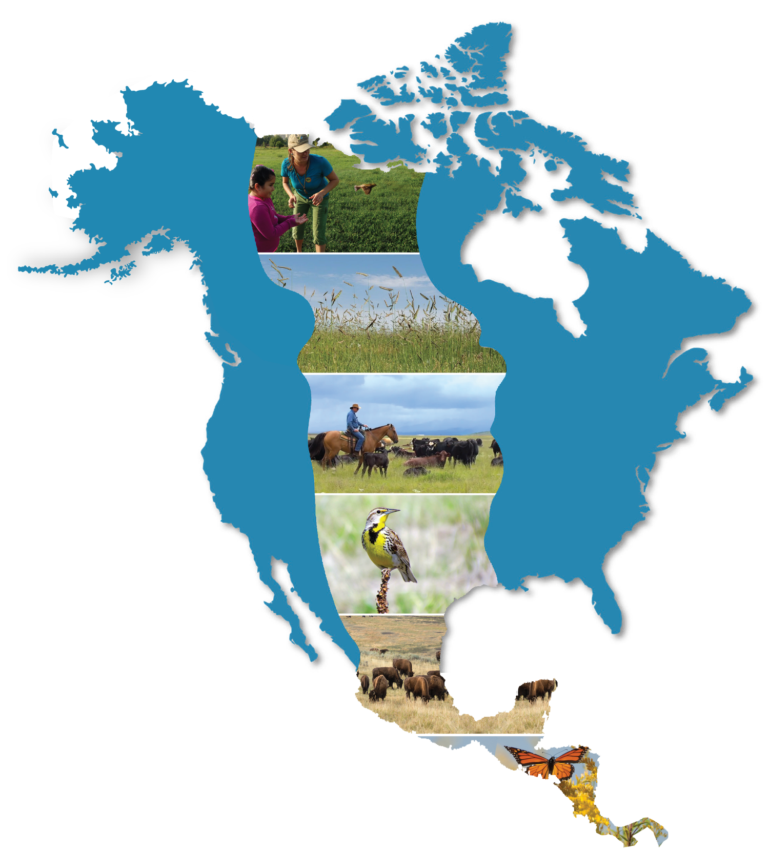
Our team is developing a large-scale collaborative conservation planning initiative for North America’s central grasslands. This effort focuses on black-tailed prairie dog (BTPD) ecosystems. Prairie dogs are keystone species and their conservation and management often lies at the core of many conservation efforts across the region. Through mapping and ecological modelling, our team is working to identify potential landscapes for conservation that will consider ecological, political, and social factors, along with changing climate and land use to maximize long-term conservation potential and co-existence with human activities. Our primary goals are to: 1) generate a BTPD habitat suitability model; 2) incorporate future climate change predictions into a BTPD habitat suitability model; and 3) identify landscapes with high conservation potential within predicted suitable habitat, both now and into the future.
Our project brings together scientists, conservation groups, and agencies to collaboratively develop the decision support tools. The habitat suitability model, multiple scenarios and prioritization will be informed and reviewed by experts and managers, including the Western Association of Fish and Wildlife Agencies’ (WAFWA) Prairie Dog Conservation Team (PDCT), State BTPD Working Groups, and Expert and local manager insight. We aim to co-create a planning tool for optimizing and guiding grassland conservation and management efforts across the Great Plains, using state of the art maps and models for the prairie dog ecosystem.
The planning tool will help provide a road map of desired conservation gains for North America’s central grasslands. This work will build substantially on previous conservation recommendations for black-footed ferret recovery, and inform management on other species of conservation concern associated with BTPDs. Additionally, it will identify regions with greatest leverage for land exchanges and purchases, conservation easements, and use of incentive or mitigation funds for restoration, and refine existing efforts like those being implemented under the WAFWA Grassland Initiative Planning tool for optimizing and guiding grassland conservation and management efforts across the Great Plains. This is a multi-year project; our team has completed a draft BTPD habitat suitability model that is currently under review by regional experts.
