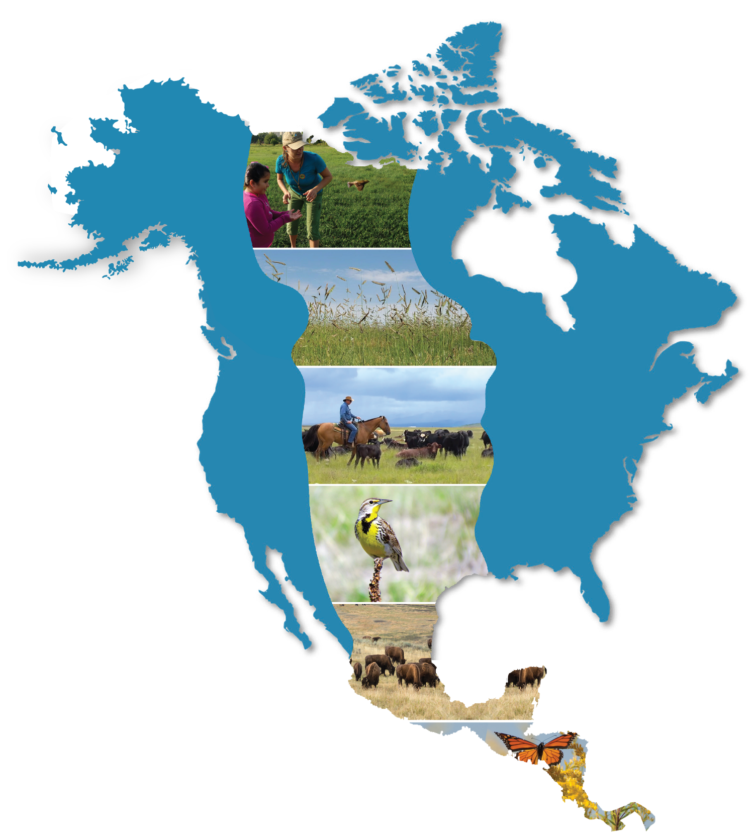
Resilient and Connected Landscapes
from The Nature Conservancy
In 2020, Nature Conservancy scientists completed a 10-year study that mapped and measured land characteristics across all regions of the US in order to identify a network of climate-resilient places that could sustain biodiversity into the future. Working with over 150 scientists and hundreds of datasets, the study used information on soil, geology, topography, landforms, wetlands, moisture gradients, and connecting natural cover to identify resilient areas - places where high microclimate diversity and low levels of human modification provide species with connected, diverse climatic conditions they will need to persist and adapt to changing regional climates.
The Conservancy is now working to make this information widely available to agencies, tribes, communities and others. We hope the information will be a starting point for conversations around how we collectively conserve a network of resilient land so it continues to provide benefits for people and reverses the declining abundance of almost all our plants and animals. We are loading the information into a public-facing web tool that will allow users to explore the data, import their own local information and see their efforts in a broader context.
The Conservancy’s Arizona Field office heard from the Navajo Nation that they preferred that we did not show their land on our final maps and web-tool until they had a chance to review and discuss. To honor this request, and to anticipate similar requests, we greyed-out all the Bureau of Indian Affairs Land on the final maps. I have been strategizing with our Indigenous Peoples program lead on how we could implement such a review utilizing the relationships already built between our state offices and their respective native communities.