Summary of Central Grasslands Roadmap Summit ~ Session 1
We opened with a Land Acknowledgement by Monica Terkildsen, Oglala Lakota.
Part 1: Overview Panel
Introduction and Purpose by Matt Gray
The Summit wants to hear from those living and working in the Central Grasslands region on experiences and current conservation solutions in place. These speakers will be critical in determining the path of the Roadmap.
Framing and Support by Tammy VerCauteren
“Setting the tone” of listening, sharing, being open, reconsidering modes of acting, thinking, collaborating. Purpose of “unified” roadmap: conservation efforts are complex and vast, overlapping efforts are frequent, roadmap shall consolidate and coordinate efforts and goals field-wide. Central grasslands are “working” land: very dynamic, ever-changing, grass for livestock, crops for food, energy production. We face a shortage of this land’s resources so we must focus on a human-centered approach. 1 in 4 of the 3 billion birds lost in the past 50 years is a grassland species. How do we engage producers, government agencies, foundations, industry, and conservation organizations? Let’s be open, embrace change, be respectful.
Grassland Bird Declines by Arvind Panjabi
Arvind has spent the past 15 years studying bird declines, specifically in the Chihuahuan Desert. Studying these bird declines is critical as they are akin to a “canary in a coal mine” signaling declines in flora, fauna, and people. The Central Grasslands are a shared ecosystem with many endemic species. Grazers are “grassland ecosystem engineers,” creating the vegetation structure and composition that birds and other wildlife depend on. Grasslands have been reduced, fragmented, and degraded through cropland conversion and overgrazing. Wetland birds have seen a modest increase, showing what’s possible when we pass legislation to protect the environment and invest in conservation. Chihuahuan grassland birds have declined twice as much as other grassland birds. Removal of shrubs may support bird populations.
Gap Analysis by Amanda Haverland
Bird Conservation Committee maps tri-national habitat programs and grassland bird conservation programs, helps determine where collaboration and funding are needed. Work group put together 10-question survey to collect info about program types, conservation targets, funding sources, partners, etc. Map synthesized from data collected to show gaps. Survey results: 240 emails to over 90 entities, all 10 state agencies and 2 provinces responded in Central Flyway, birds and habitat were the two highest priorities. 202 projects have been entered into the conservation map.
Roadmap Scale by Jim Giocomo
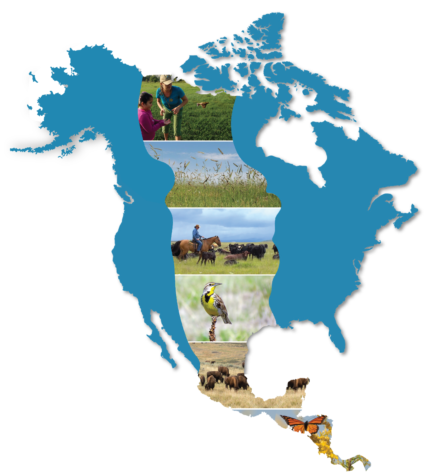
“Grasslands” may constitute short-, mixed-, and some tallgrass prairie, savanna, shrub-grass, or desert grass. Central grasslands: 3 Canadian provinces, 10 US States, 8+ Mexican states 1.7 million square kilometers or 420 million acres, 50 million people and 50 million cattle. Due to this complexity, Roadmap should not include too much detail, should see major landmarks and connections, identify working and non-working initiatives and strategies.
Part 2: Keynote Speech by Chief Matthew Lohr
NRCS aims to work “hand-in-hand” with farmers, ranchers, and private landowners to provide technical and financial assistance to help them be the best environmental stewards possible. Grasslands are crucial to communities, environment, and agriculture; fortunate as NRCS to be so involved in this area. NRCS uses a 9-step conservation planning process. 1st step: identify problems, could be issue, perceived threat, or opportunity. 2nd step: determine objectives. 3rd step: inventory resources, collect economic and social information, identify roadblocks/challenges. Steps 4-6: analyze resource data, formulate alternatives, evaluate alternatives. Step 7: make decisions, realize stakeholders and what is at stake. Steps 8-9: implement the plan, evaluate the plan. Finally, “envision the impossible,” be creative, look at completely new approaches.
Part 3: Voices from the Land Panel
Miles Anderson, Saskatchewan, Canada
Located in the geographic center of North America. Ranches 45,000 acres around Fir Mountain. Miles became involved in conservation when he was brought into a region-wide conversation about grazing and the effects on grass. The group decided that no grazing was the best option but Miles refuted that, stating that grazing would be neutrally effective or better for the grass than no grazing. Miles subscribed to grazing prescriptions, has been following prescriptions for two years. Landowners may prove you wrong. Don’t take land away, talk to landowners to see if they can change behavior instead.
Alejandro Carrillo, Chihuahua, Mexico
Joined ranching operation 15 years ago. Nested in central Chihuahuan Desert, 30,000 acres. No inputs except for sea salt, no chemical or mechanical seeding techniques used to restore grasslands. Grazing is sole management technique, part of larger regeneration network covering 500,000 acres in Chihuahuan Desert. Fighting with woody plants in some places, but work for what they want, which is perennial grasses. Alejandro’s side of the fence is truly “greener” than his neighbors due to grazing technique. Low maintenance cattle are ideal. “Whether you think you can or you think you can’t, you’re right.”
Monica Terkildsen, Oglala Lakota
Monica’s experience is uniquely her own, may not apply to other indigenous land managers and ranchers. Land-owning itself is paradoxical, “one cannot own its own grandmother.” Indigenous people do not share the view of land ownership with European Americans. To Monica, conservation looks like taking communally-owned land and creating conservation areas. Concerns: elected officials not knowledgeable regarding grassland conservation and medicinals, tribes not included in discussion and resources. Successes: tribal lease acquisition, partnerships and collaboration, tribal members pushing local legislation, reclaiming lifestyles.
Bill Milton, Central Montana, United States
Land improvement and restoration practices are akin to Alejandro’s. Can have the most successful ranch in the world, but if his neighbors are failing, he fails. What is the appropriate response, with who and how can he collaborate? Is our landscape healthy? How do we know if the land is healthy? Can’t answer in a way that obtains public trust. We need to create a community process that is respectful and transparent that creates functional data and engages landowners.
