Grassland Assessment
of North American Great Plains Migratory Bird Joint Ventures, Prairie Potholes.
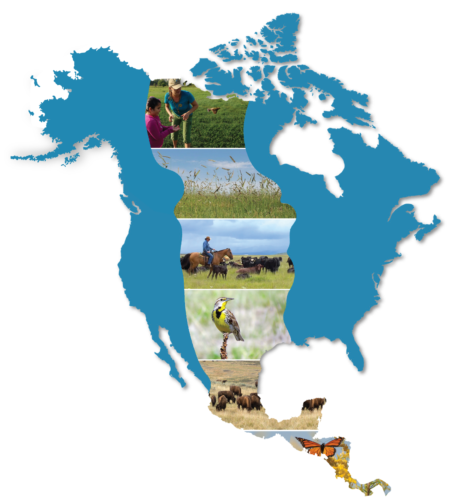
Another effective collaborative conservation effort, the Prairie Pothole joint venture recently led an assessment of critical grasslands to address land degradation and subsequent declines in migratory bird populations. The team used satellite landcover data to carry out the assessment and reached concerning findings about the decline of PUDL (potentially undisturbed land).
The assessment defines PUDL as landscapes without any “history of tillage disturbance,” or land that has been degraded by agriculture. The higher an area is in PUDL, the likelier that area is to be biodiverse. More specifically, greater PUDL means greater support for migratory bird populations.
However, the assessment found that PUDL in the North American Great Plains is being destroyed faster than it is being conserved. Ecologists used geospatial satellite data to estimate land consumption and protection rates and estimated that land consumption will occur roughly 7 to 25 times faster than protection over the next 10 years.
Luckily, the assessment generated results on a level of specificity that local conservation joint ventures will now be able to target areas and use resources much more efficiently and effectively than before. Like most conservation projects, collaboration will be crucial to the success of these joint ventures.